
Over time, atypical weather conditions have become an increasing source of anxiety and challenges for farmers. Agriculture is the sector most sensitive to a changing climate.
Winter frosts and rainstorms are statistically the most damaging to crops, but these two problems are predicted to be soon overshadowed by increased solar intensity and drought risk. For these reasons, it is necessary to find ways to increase the efficiency of agriculture, reduce losses, optimize processes, and increase yields.
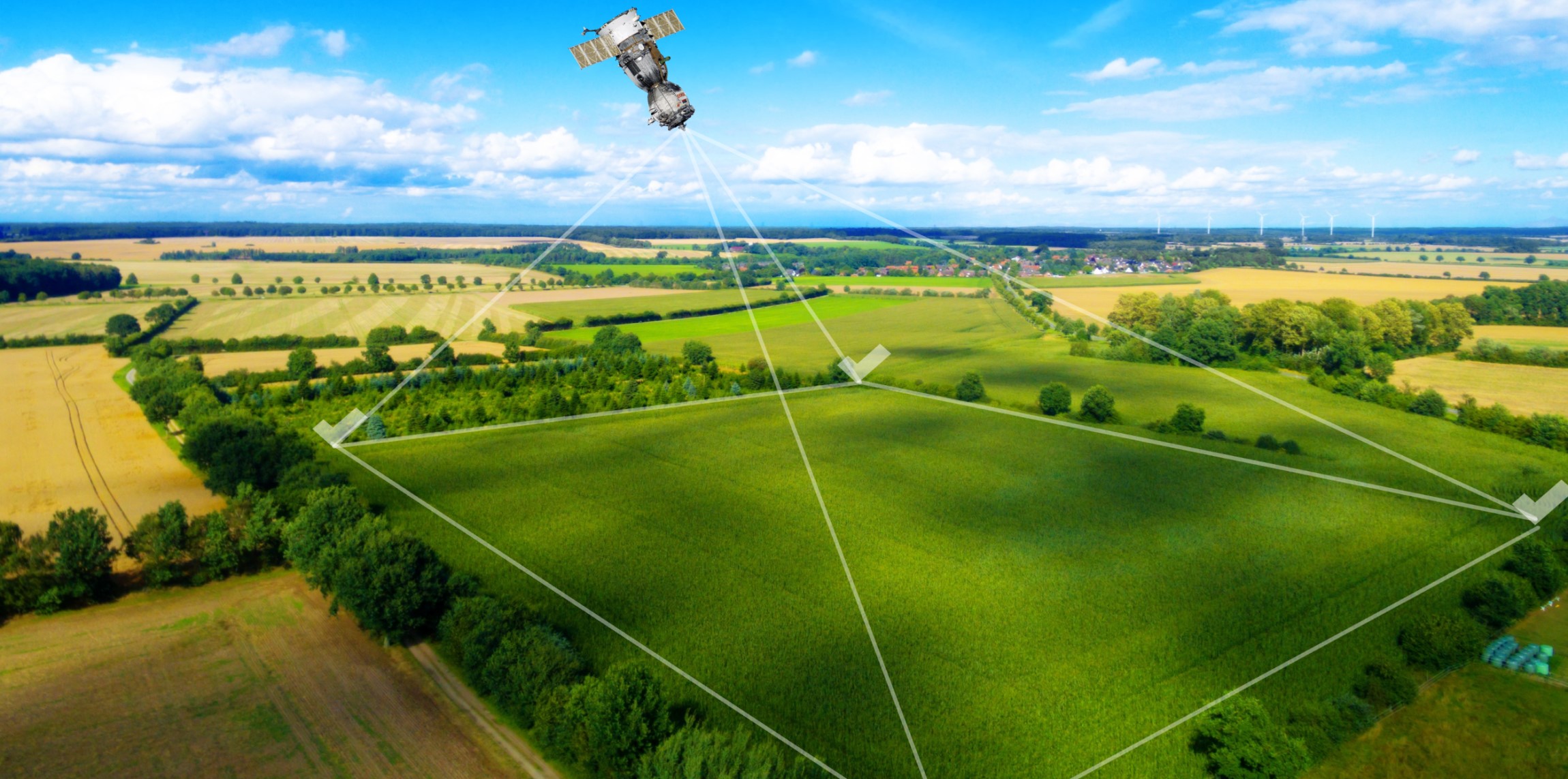
Innovations in satellite technology and newer and better algorithms for agriculture can help solve these problems. The NDVI index is usually the best known, but one of the better algorithms is FAPAR, sometimes also called fAPAR or fPAR. This algorithm analyses the part of the solar spectrum absorbed by chlorophyll in plants.
One of the main advantages of this technology is that the FAPAR index efficiently models all the stages of plant growth and therefore allows for proper monitoring of the situation in the field, whereas other algorithms are not able to monitor the fields from the beginning of the growing season, as the algorithm includes the soil.
In cases where the vegetation is the same across the field, we can use contrast mode so you can see the best and worst parts of the field and make appropriate decisions about whether to use a different cultivation technology or a different tillage method.
Geoface is an intelligent farm management application that uses these algorithms and technologies to best pinpoint problematic areas, monitor changes in fields during the growing season, and predict future yields. With more accurate data, we can start talking about variable rate mapping. Conserve nitrogen fertilizer, only fertilize where needed, do not over-fertilize areas likely to dry out, and do not fertilize areas that will not produce the desired yield.
Another plus point of FAPAR is that satellite imagery and variable-rate maps with this algorithm have a high resolution of up to 10×10 meters. This precision allows you to work without fear of not fertilizing areas that do not need fertilizer.
With FAPAR, you can maximize the potential of your land, take care of the environment and save time and money.